


The Columbia River Gorge is a deep canyon near Portland, Oregon, formed by unimaginable violence. In the last ice age, geologists believe mountains of ice blocked the natural drainage of meltwater from the region, creating a now-vanished inland sea called Lake Missoula.
Geologists today believe the 2,000-foot-high ice dam failed suddenly, releasing a torrent of water that scoured out the present-day Columbia Gorge. The vast lake continued to drain for many years, violently washing away rock and land.
Whole mountains vanished in the flood, our tour guide said today. Mud flows covered the area around Portland, creating some of the unusual sand formations that still exist today.
Later, volcanoes in the Cascades added lava and pyroclastic flows to the gorge’s landscape. The volcanic rock occasionally blocked the river during large landslides. And some of these slides eroded over time to create rapids that made a lock system necessary to navigate upstream.
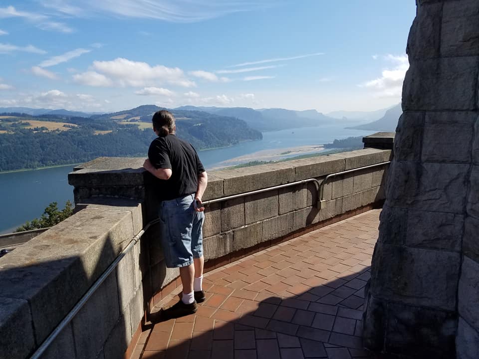
There are several points of land today with grand views of the valley.
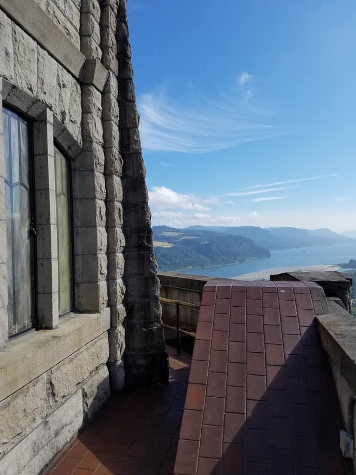
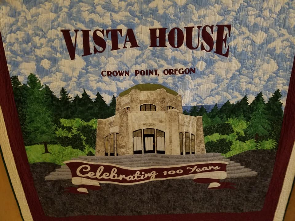
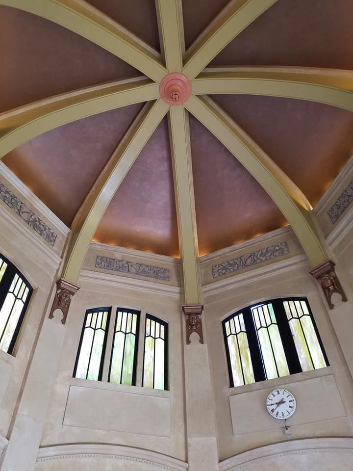
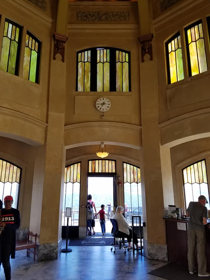
One of them, an old lava flow 733 feet above the Columbia River, was crowned with a stone structure in 1918 called Vista House. It still gives visitors one of the best views of the gorge.
Construction of Vista House began in 1916 with funding mainly coming from local resources. It included financing from city and county governments and from schoolchildren who helped raise money in organized drives.
Ownership of Vista House was not transferred to the State of Oregon until 1938. That was when Multnomah County and the City of Portland donated it for inclusion in a state park.
